| Balesar Durgawatan | |
|---|---|
|
[[File:|250x250px|frameless|center]] | |
| Settlement type | town |
| Country | India |
| State | |
| District | |
| Subdivision | |
Balesar Durgawatan is a panchayat village[1] in the state of Rajasthan, India,[2][3][4] Administratively, Balesar Durgawatan is under Balesar tehsil of Jodhpur District in Rajasthan.[3]
There are two villages in the Balesar Durgawatan gram panchayat: Balesar Durgawatan and Deonagar.[3]
Geography
Balesar Durgawatan is located in the Thar Desert at an elevation of 250 meters above mean sea level. The village is 8 km northeast of National Highway 114 at Balesar Satan.[5]
Demographics
In the 2001 census, the village of Balesar Durgawatan had 5,221 inhabitants, with 2,747 males (52.6%) and 2,474 females (47.4%), for a gender ratio of 901 females per thousand males.[6]
Notes
- ↑ 2011 Village Panchayat Code for Balesar Durgawatan = 35584, Reports of National Panchayat Directory: Village Panchayat Names of Balesar, Jodhpur, Rajasthan. Ministry of Panchayati Raj, Government of India.
- ↑ 2001 Census Village code for Balesar Durgawatan = 01984600, 2001 Census of India: List of Villages by Tehsil: Rajasthan. Registrar General & Census Commissioner, India.
- ↑ 3.0 3.1 3.2 2011 Census Village code for Balesar Durgawatan = 085382, Reports of National Panchayat Directory: List of Census Villages mapped for: Balesar Durgawatan Gram Panchayat, Balesar, Jodhpur, Rajasthan. Ministry of Panchayati Raj, Government of India.
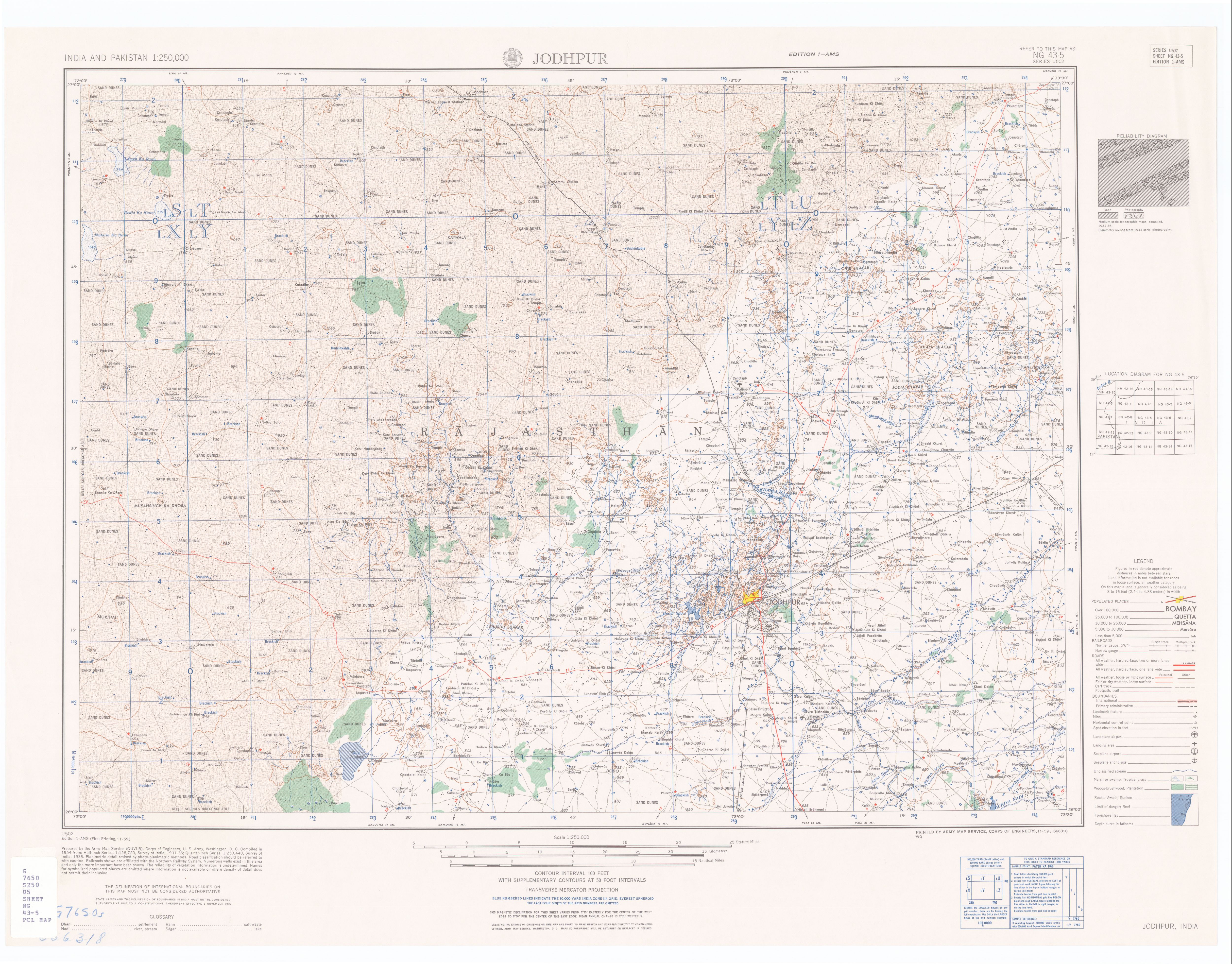
- ↑ Jodhpur India, Sheet NG 43-05. United States Army Map Service(November 1959).
- ↑ Statewise Length of National Highways in India. Ministry of Road Transport and Highways.
- ↑ Census 2001 Population Finder: Rajasthan: Jodhpur: Balesar: Balesar Durgawatan. Office of The Registrar General & Census Commissioner, Ministry of Home Affairs, Government of India.