


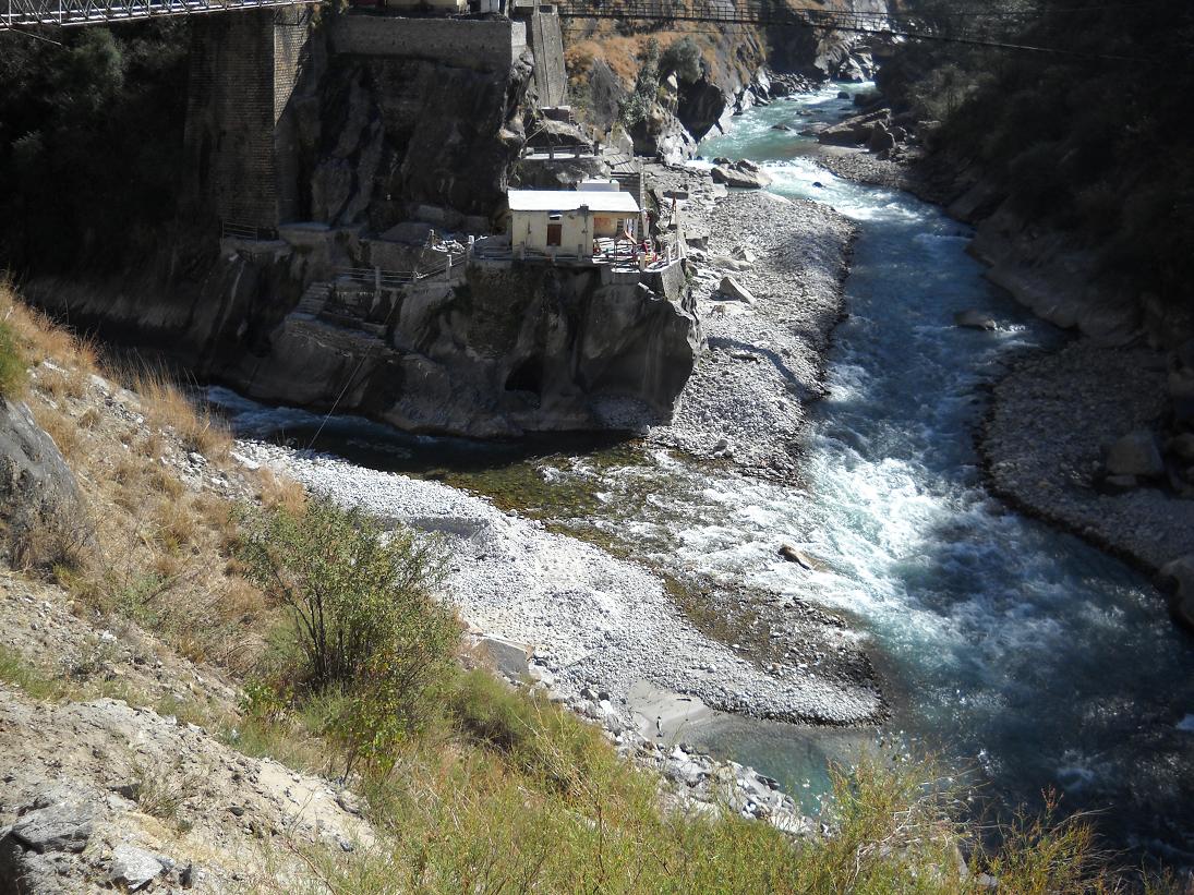


The Dhauliganga is a turbulent Himalayan river which rises in the border regions of India and China and flows south into the Garhwal region of Uttarakhand, India. It joins the Alaknanda, the major source stream of the Ganges river.
Course
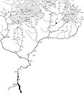
Dhauliganga rises in the vicinity of the Niti Pass in the border regions between Garhwal and southwestern Tibet.[1] It flows Template:Convert southwards until it meets the Rishiganga on its left bank at Rini, in the vicinity of Tapovan in Chamoli district. It then flows Template:Convert westwards until it meets the Alaknanda at Vishnuprayag and terminates—the confluence just upstream of the city of Joshimath.[1] The upper Dhauliganga valley parts the East-West Himalayan axis, with Nanda Devi and its subsidiary peaks to its left and Kamet and its subsidiary peaks to its right.[1]
Nanda Devi glacier flood
Template:Main article On 7 February 2021 a part of Nanda Devi Glacier, a Himalayan glacier in the Nanda Devi National Park, broke away and caused water levels in the Rishiganga and Dhauliganga rivers to rise. The Dhauliganga Dam at the Dhauliganga hydropower project at Reni village (Template:Coord) was destroyed and another suffered a partial collapse. Initial reports said nine people were dead and 140 missing. Water levels on the Alaknanda also rose.[2][3]
References
- ↑ 1.0 1.1 1.2 Geo-Economic syndromal determination of cultural Similarity—The case of the Bhotias of the Indo-Tibetan border of Uttarakhand.
- ↑ Uttarakhand glacier burst brings back memory of 2013 flash floods. The Hindu(2021-02-07). Retrieved 2021-02-08.
- ↑ Scores feared dead as glacier causes dams to burst in north India. The Guardian(2021-02-07). Retrieved 2021-02-08.