


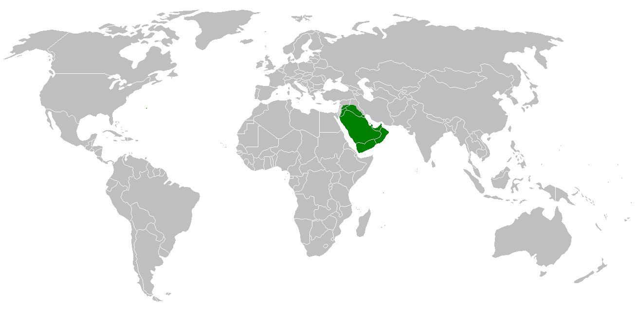
File:Caliph Abu Bakr's empire at its peak 634-mohammad adil rais.PNG
Size of this preview: 800 × 406 pixels. Other resolutions: 320 × 163 pixels | 640 × 325 pixels | 1,305 × 663 pixels.


Original file (1,305 × 663 pixels, file size: 35 KB, MIME type: image/png)

Summary
| Description |
English: Map showing extent of Caliph Abu Bakr's empire at its peak in 634 CE. |
| Date | 2 August 2007 (original upload date) |
| Source | Transferred from en.wikipedia to Commons by Sreejithk2000 using CommonsHelper. |
| Author | Mohammad adil at English Wikipedia |
Licensing
Mohammad adil at the English-language Wikipedia, the copyright holder of this work, hereby publishes it under the following license:
  
|
This file is licensed under the Creative Commons Attribution-Share Alike 3.0 Unported license. Subject to disclaimers. | |
| Attribution: Mohammad adil at the English-language Wikipedia | ||
| ||
| This licensing tag was added to this file as part of the GFDL licensing update. |

|
Permission is granted to copy, distribute and/or modify this document under the terms of the GNU Free Documentation License, Version 1.2 or any later version published by the Free Software Foundation; with no Invariant Sections, no Front-Cover Texts, and no Back-Cover Texts. A copy of the license is included in the section entitled GNU Free Documentation License. Subject to disclaimers. |
Original upload log
The original description page was here. All following user names refer to en.wikipedia.

- 2007-08-02 07:42 Mohammad adil 1305×663× (30678 bytes) {{GFDL-self-with-disclaimers}}
File history
Click on a date/time to view the file as it appeared at that time.
| Date/Time | Thumbnail | Dimensions | User | Comment | |
|---|---|---|---|---|---|
| current | 23:33, 1 February 2018 | | 1,305 × 663 (35 KB) | wikimediacommons>Maphobbyist | Montenegro and South Sudan borders. |
File usage
There are no pages that use this file.
