File:Canaldoddaghatta.jpg
Size of this preview: 337 × 599 pixels. Other resolutions: 135 × 240 pixels | 270 × 480 pixels | 432 × 768 pixels | 576 × 1,024 pixels | 1,728 × 3,072 pixels.
Original file (1,728 × 3,072 pixels, file size: 1.07 MB, MIME type: image/jpeg)
This file is from Wikimedia Commons and may be used by other projects. The description on its file description page there is shown below.
Summary
| DescriptionCanaldoddaghatta.jpg |
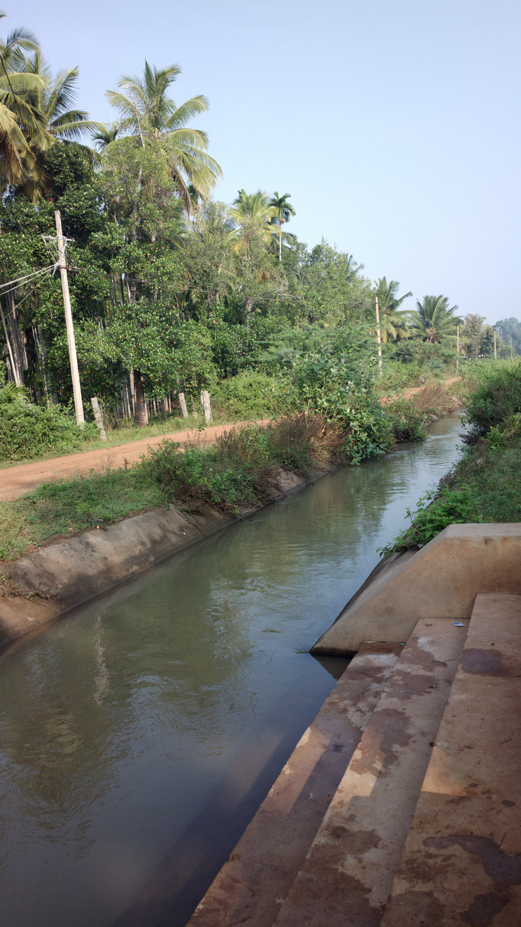
English: Irrigation Canal in Doddaghatta Village near Channagiri. |
| Date | |
| Source | Own work |
| Author | Irrigator |
| Camera location | 14° 12′ 37.57″ N, 75° 52′ 50.75″ E | View this and other nearby images on: OpenStreetMap |
|---|
Licensing
I, the copyright holder of this work, hereby publish it under the following license:
This file is licensed under the Creative Commons Attribution-Share Alike 3.0 Unported license.
- You are free:
- to share – to copy, distribute and transmit the work
- to remix – to adapt the work
- Under the following conditions:
- attribution – You must give appropriate credit, provide a link to the license, and indicate if changes were made. You may do so in any reasonable manner, but not in any way that suggests the licensor endorses you or your use.
- share alike – If you remix, transform, or build upon the material, you must distribute your contributions under the same or compatible license as the original.
Captions
Add a one-line explanation of what this file represents
Items portrayed in this file
depicts
14°12'37.56499"N, 75°52'50.74554"E
13 November 2012
0.009965 second
2.3984375
8.015625 millimetre
100
image/jpeg
47ae90fca8e676d5466c7cb215ca5fe8860722e1
1,125,557 byte
3,072 pixel
1,728 pixel
File history
Click on a date/time to view the file as it appeared at that time.
| Date/Time | Thumbnail | Dimensions | User | Comment | |
|---|---|---|---|---|---|
| current | 03:07, 18 November 2012 | 1,728 × 3,072 (1.07 MB) | wikimediacommons>Irrigator | User created page with UploadWizard |
File usage
There are no pages that use this file.
Metadata
This file contains additional information, probably added from the digital camera or scanner used to create or digitize it.
If the file has been modified from its original state, some details may not fully reflect the modified file.
| Camera manufacturer | Nokia |
|---|---|
| Camera model | 808 PureView |
| Exposure time | 1,993/200,000 sec (0.009965) |
| F Number | f/2.3984375 |
| ISO speed rating | 100 |
| Date and time of data generation | 08:36, 13 November 2012 |
| Lens focal length | 8.015625 mm |
| Latitude | 14° 12′ 37.57″ N |
| Longitude | 75° 52′ 50.75″ E |
| Altitude | 507 meters above sea level |
| Orientation | Normal |
| Horizontal resolution | 300 dpi |
| Vertical resolution | 300 dpi |
| File change date and time | 08:36, 13 November 2012 |
| Y and C positioning | Centered |
| Exif version | 2.2 |
| Date and time of digitizing | 08:36, 13 November 2012 |
| Meaning of each component |
|
| APEX shutter speed | 6.648 |
| APEX aperture | 2.5234375 |
| Light source | Unknown |
| Flash | Flash did not fire, auto mode |
| DateTime subseconds | 437 |
| DateTimeOriginal subseconds | 437 |
| DateTimeDigitized subseconds | 437 |
| Supported Flashpix version | 1 |
| Color space | sRGB |
| Custom image processing | Normal process |
| Exposure mode | Auto exposure |
| White balance | Auto white balance |
| Digital zoom ratio | 1.11 |
| Scene capture type | Standard |
| Scene control | Low gain up |
| Measurement mode | 3-dimensional measurement |
| Measurement precision | Excellent (1.8) |
| Geodetic survey data used | WGS-84 |
| GPS tag version | 0.0.2.2 |
Retrieved from "https://indianpedia.org/wiki/File:Canaldoddaghatta.jpg"