
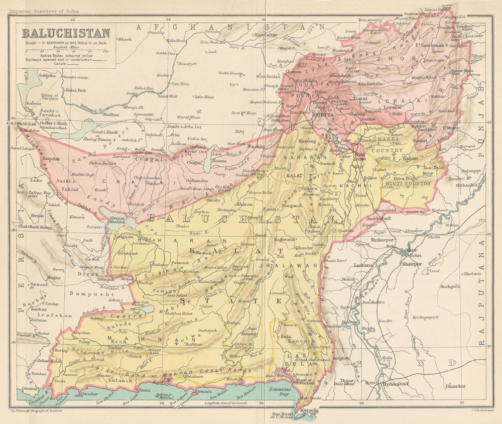
File:Map of Baluchistan from The Imperial Gazetteer of India (1907-1909).jpg
Size of this preview: 710 × 599 pixels. Other resolutions: 284 × 240 pixels | 569 × 480 pixels | 1,000 × 844 pixels.
Original file (1,000 × 844 pixels, file size: 254 KB, MIME type: image/jpeg)
Summary
| Description |
English: Map of Baluchistan from The Imperial Gazetteer of India Volume 6, opposite page 336.. New edition, published under the authority of His Majesty's Secretary of State for India in Council. Oxford: Clarendon Press, 1907-1909.
Scale: 1:6,000,000. 1 in. to 94.6 miles. Native States colored yellow. |
| Date | between 1907 and 1909 |
| Source | http://dsal.uchicago.edu/maps/gazetteer/index.html |
| Author | John G. Bartholomew |
| Other versions |


.jpg&action=edit§ion=new)


.jpg)
Licensing

|
The author died in 1920, so this work is in the public domain in its country of origin and other countries and areas where the copyright term is the author's life plus 100 years or fewer.  You must also include a United States public domain tag to indicate why this work is in the public domain in the United States. You must also include a United States public domain tag to indicate why this work is in the public domain in the United States. |
| This file has been identified as being free of known restrictions under copyright law, including all related and neighboring rights. | |
File history
Click on a date/time to view the file as it appeared at that time.
| Date/Time | Thumbnail | Dimensions | User | Comment | |
|---|---|---|---|---|---|
| current | 06:19, 8 October 2014 | | 1,000 × 844 (254 KB) | wikimediacommons>Co9man | User created page with UploadWizard |
File usage
There are no pages that use this file.
.jpg)