
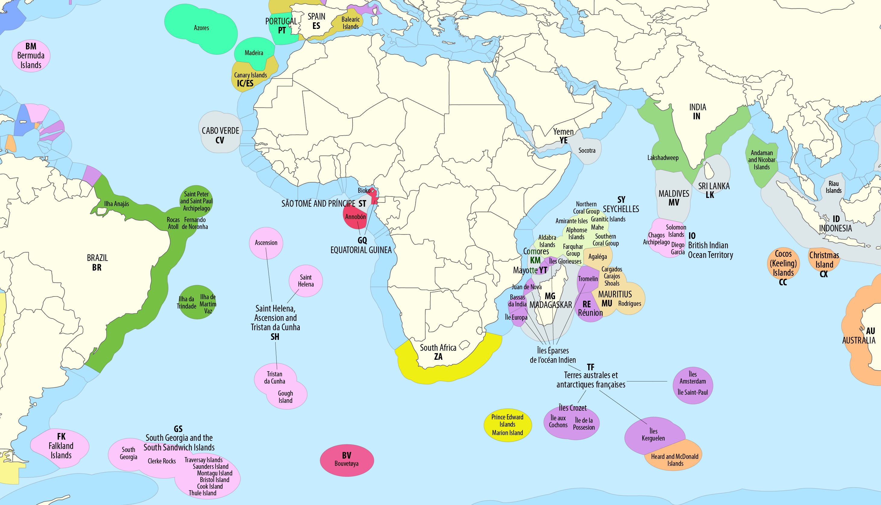
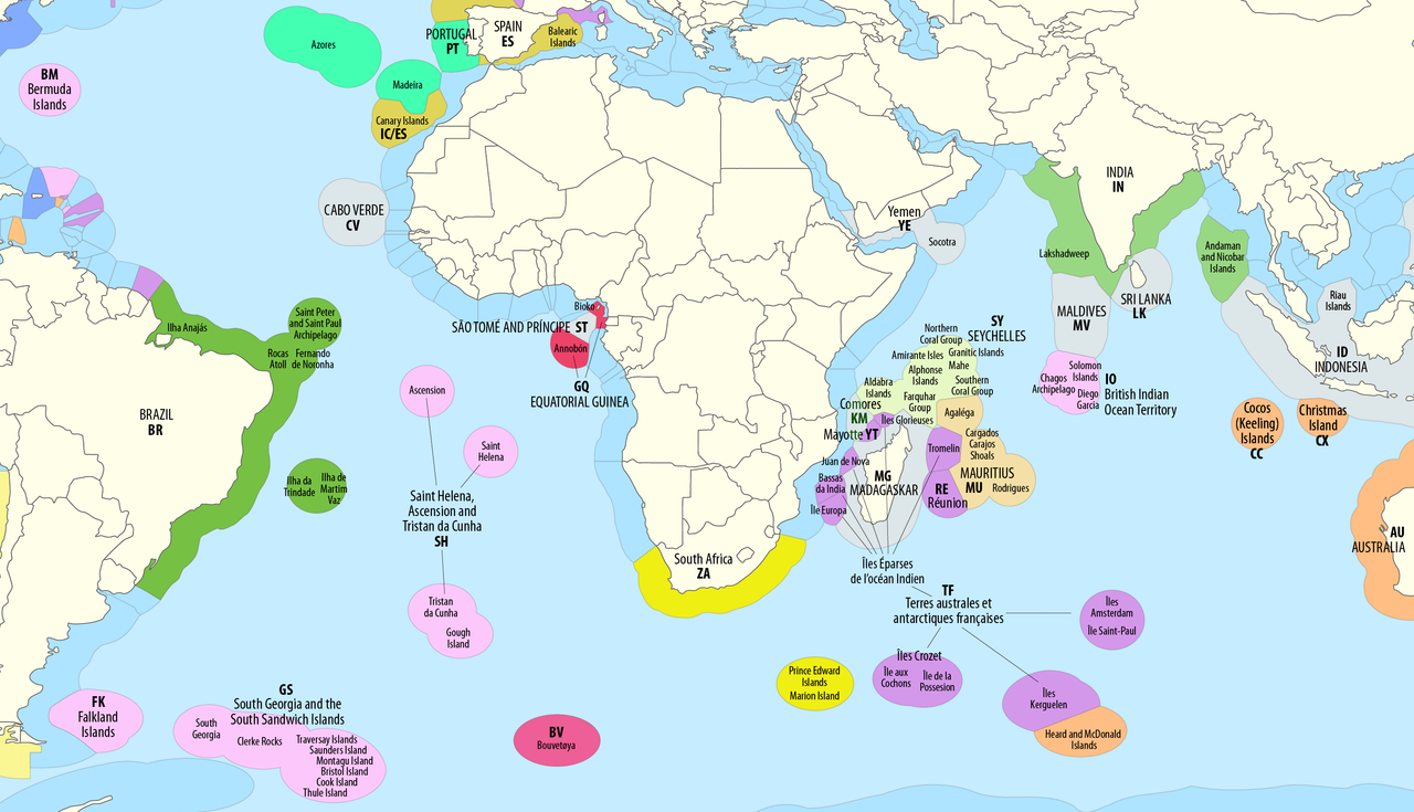
File:Map of the Territorial Waters of the Atlantic and Indian Ocean.png
Size of this preview: 800 × 459 pixels. Other resolutions: 320 × 184 pixels | 640 × 367 pixels | 1,024 × 588 pixels | 1,280 × 735 pixels | 2,919 × 1,676 pixels.
Original file (2,919 × 1,676 pixels, file size: 588 KB, MIME type: image/png)

|
This map image could be re-created using vector graphics as a SVG file. This has several advantages; see Commons:Media for cleanup for more information. If a SVG form of this image is available, please upload it and afterwards replace this template with
{{vector version available|new image name}}.It is recommended to name the SVG file “Map of the Territorial Waters of the Atlantic and Indian Ocean.svg”—then the template Vector version available (or Vva) does not need the new image name parameter. |
Summary
| Description |
Deutsch: Ausschließliche Wirtschaftszonen (EEZ) im Atlantischen und im Indischen Ozean
English: Territorial waters (EEZ) of the Atlantic and Indian Ocean |
| Date | see file history |
| Source | Own work using: this map by B1mbo |
| Author | Maximilian Dörrbecker (Chumwa) |
| Permission (Reusing this file) |
I, the copyright holder of this work, hereby publish it under the following license:    This file is licensed under the Creative Commons Attribution-Share Alike 2.5 Generic license.
Sie dürfen das Bild zu den folgenden Bedingungen nutzen:
|
| Other versions |
|




File history
Click on a date/time to view the file as it appeared at that time.
| Date/Time | Thumbnail | Dimensions | User | Comment | |
|---|---|---|---|---|---|
| current | 09:06, 2 May 2023 | | 2,919 × 1,676 (588 KB) | wikimediacommons>Lasunncty | Comoros not part of France |
File usage
There are no pages that use this file.
